Two wheels to the highest point east of the Mississippi
In September 2019 we rode the motorcycle west through the North Carolina mountains: up the Blue Ridge Parkway to Mount Mitchell, then over to the Tail of the Dragon and the Cherohala Skyway.
🥾 Mount Mitchell
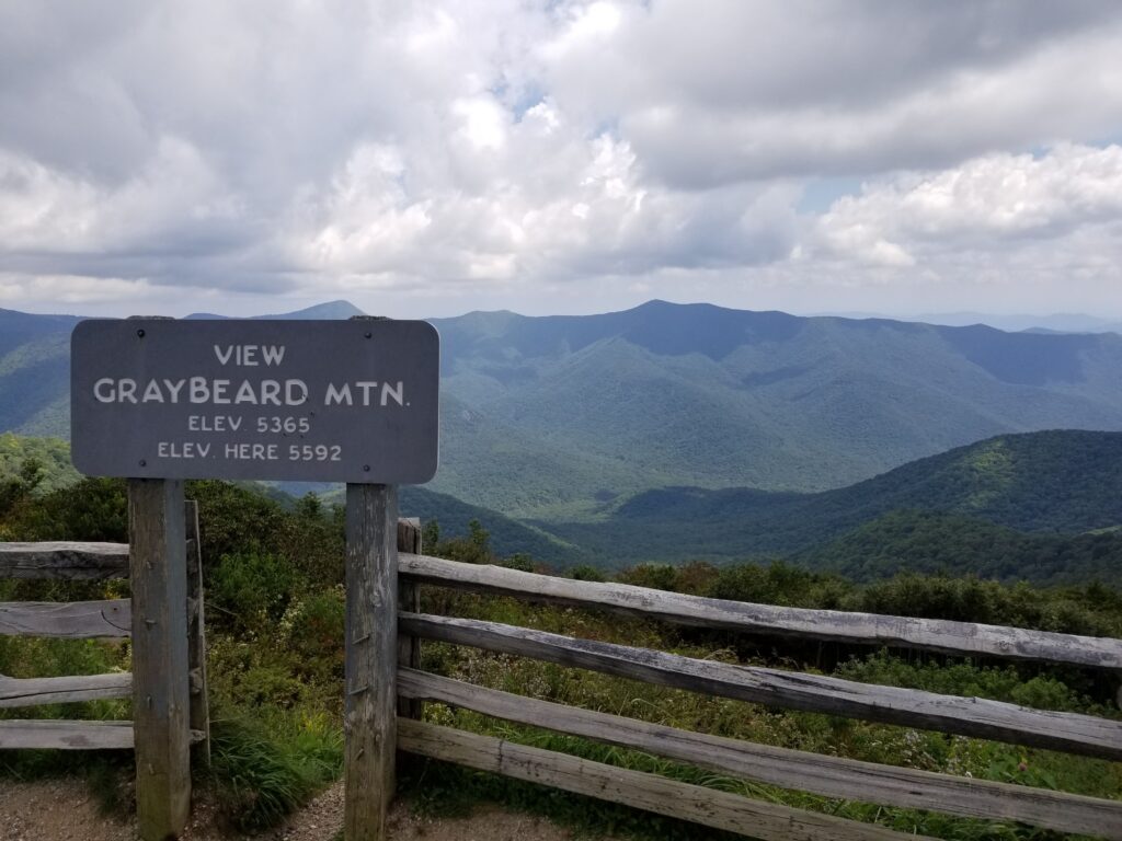
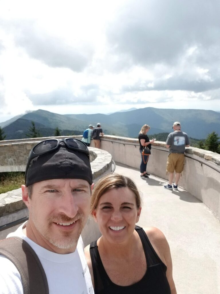
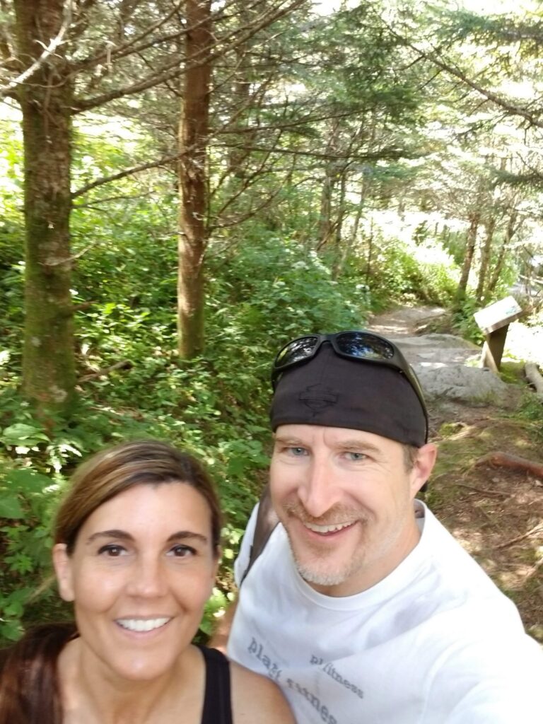
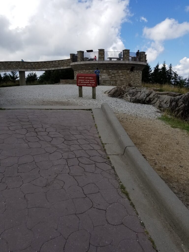
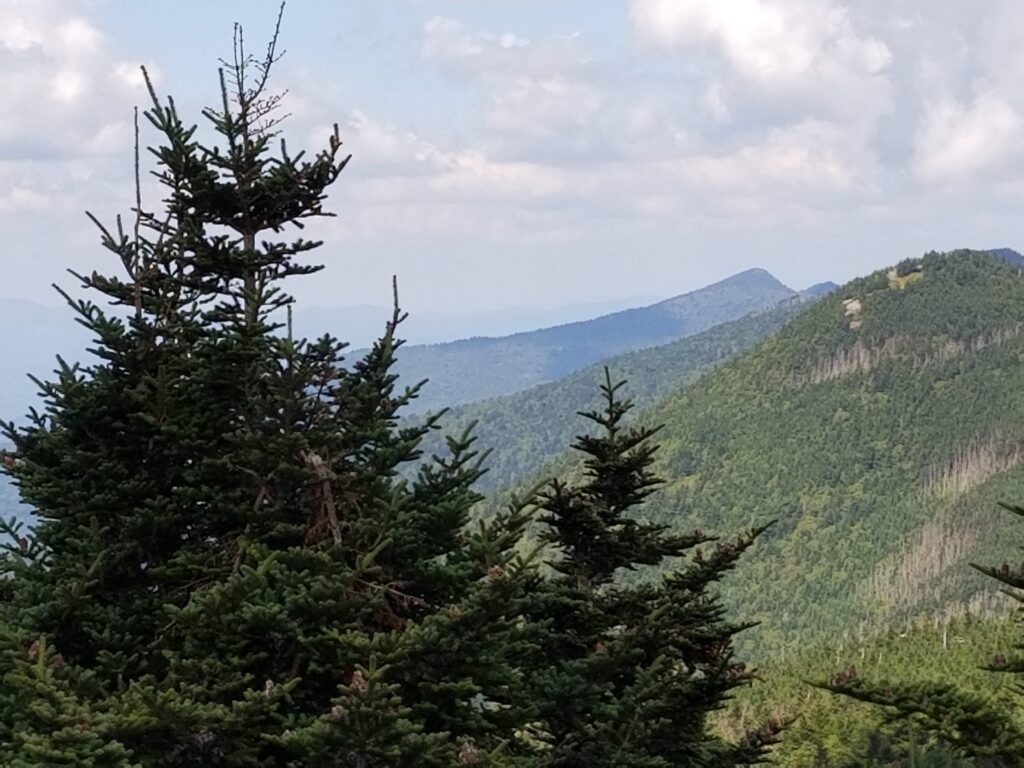
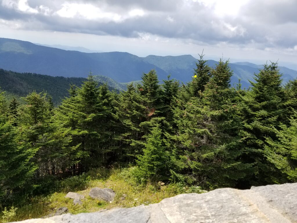
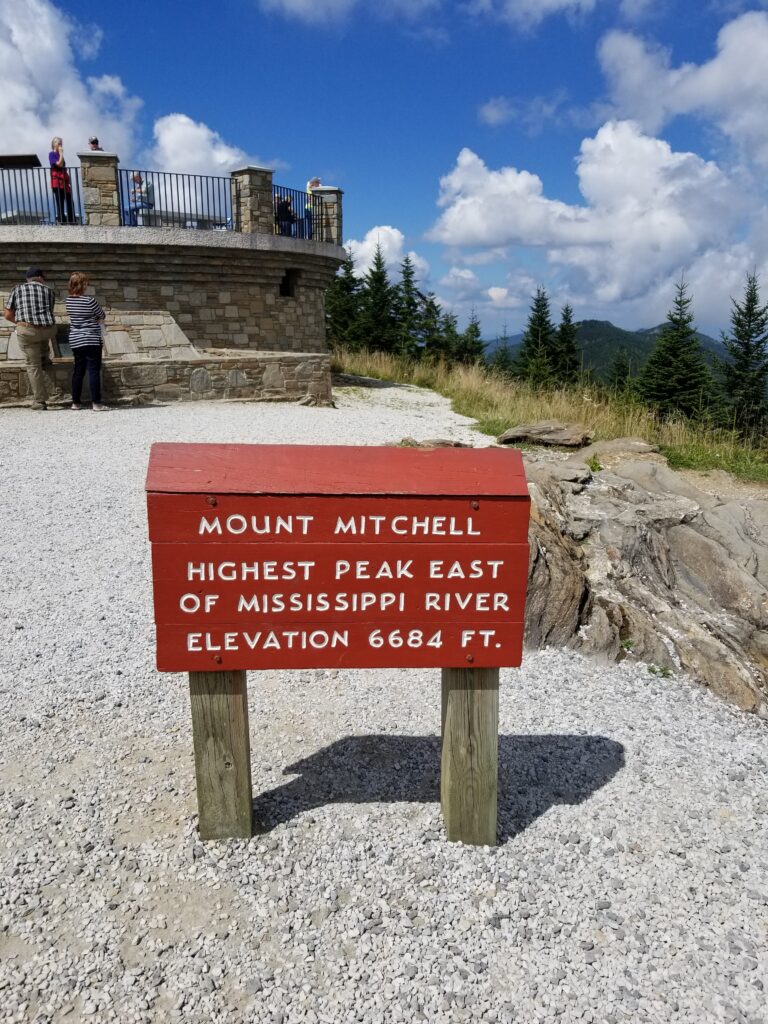
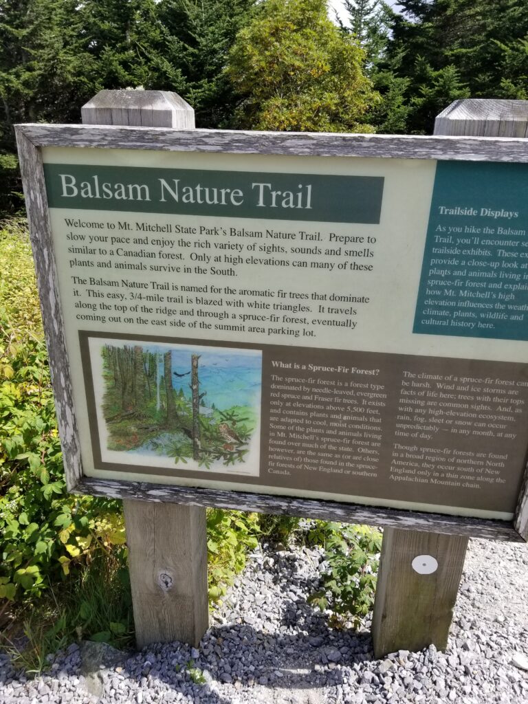
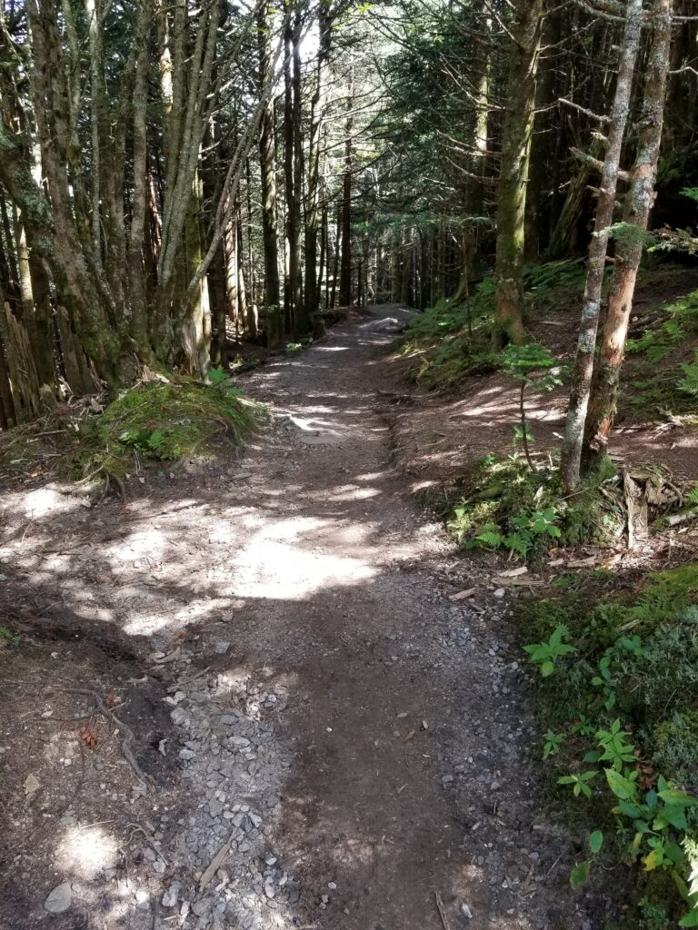
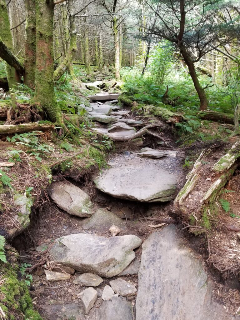
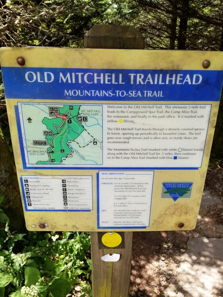
At 6,684 feet, Mount Mitchell is the highest point east of the Mississippi River. From the upper parking lot, a paved 0.25-mile trail climbs to the observation deck at the summit, with views of up to 85 miles on a clear day. We also walked the Balsam Nature Trail, a 0.7-mile loop through the spruce and fir forest, and passed the Old Mitchell trailhead on the Mountains-to-Sea Trail.
🥾 Tail of the Dragon
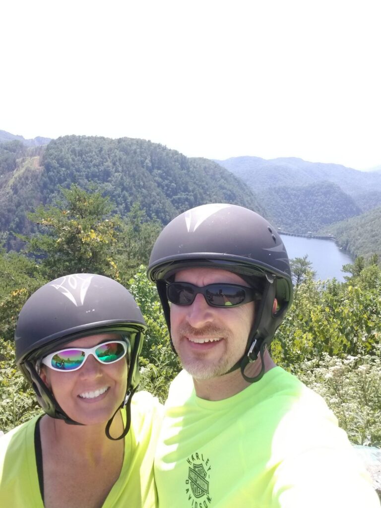
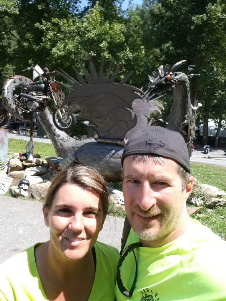
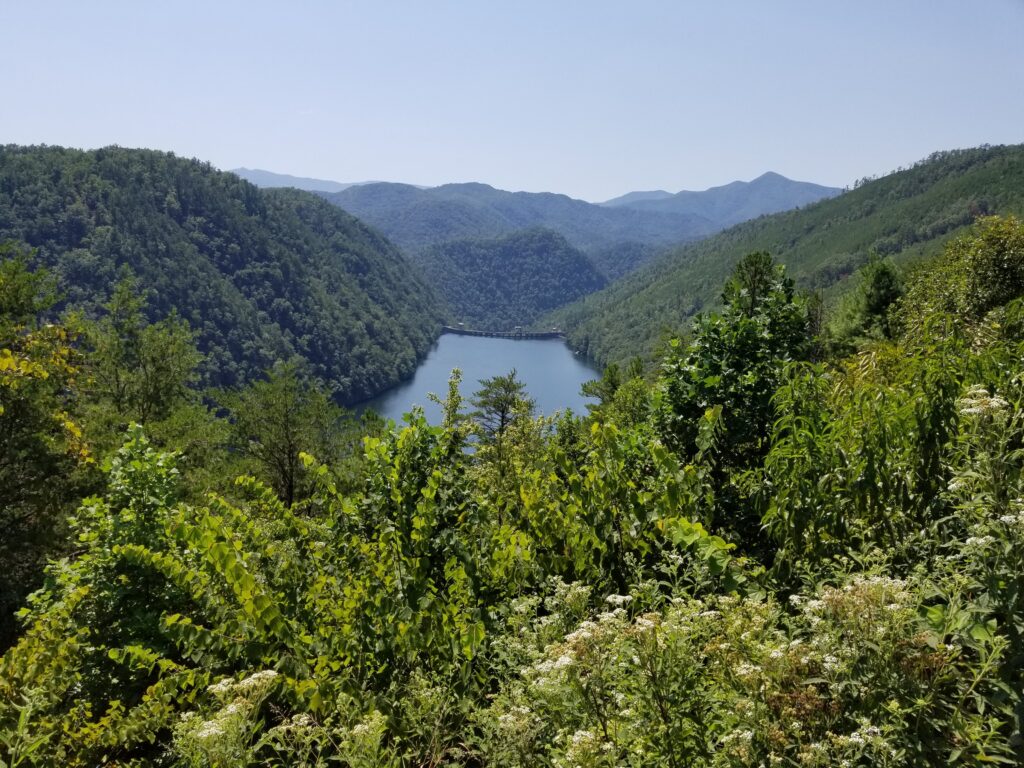
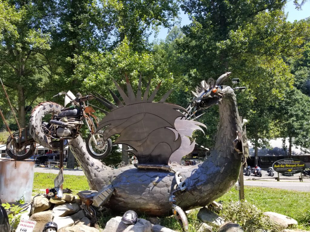
US-129 at Deals Gap, on the North Carolina and Tennessee line, is famous with riders as the Tail of the Dragon, billed as 318 curves in 11 miles. Along the way the road runs past the overlooks above Calderwood Lake. We had to stop at the Dragon sculpture.
🥾 Cherohala Skyway
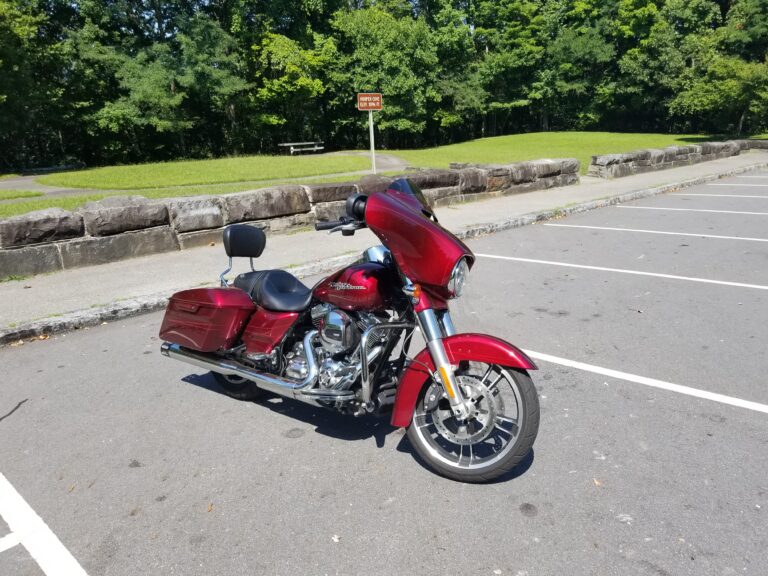
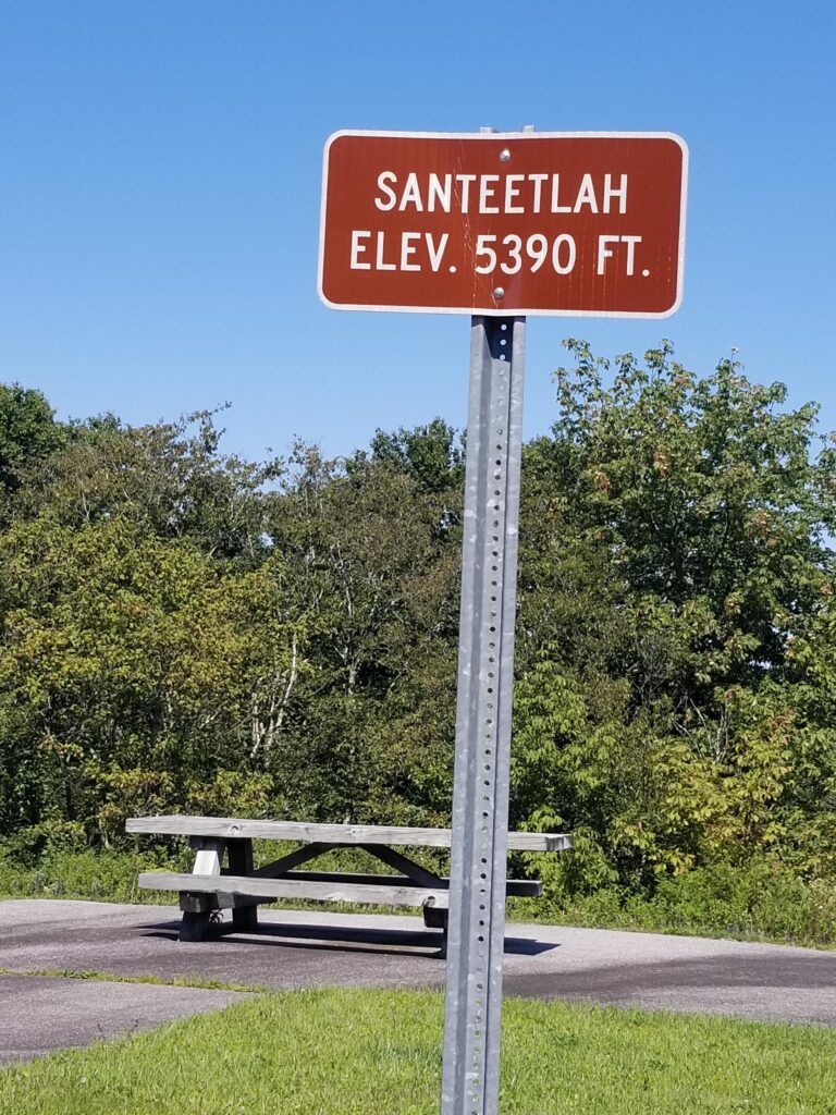
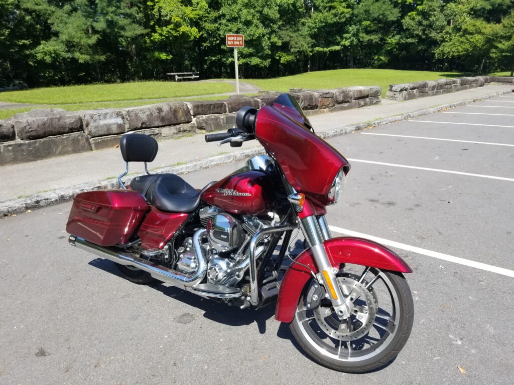
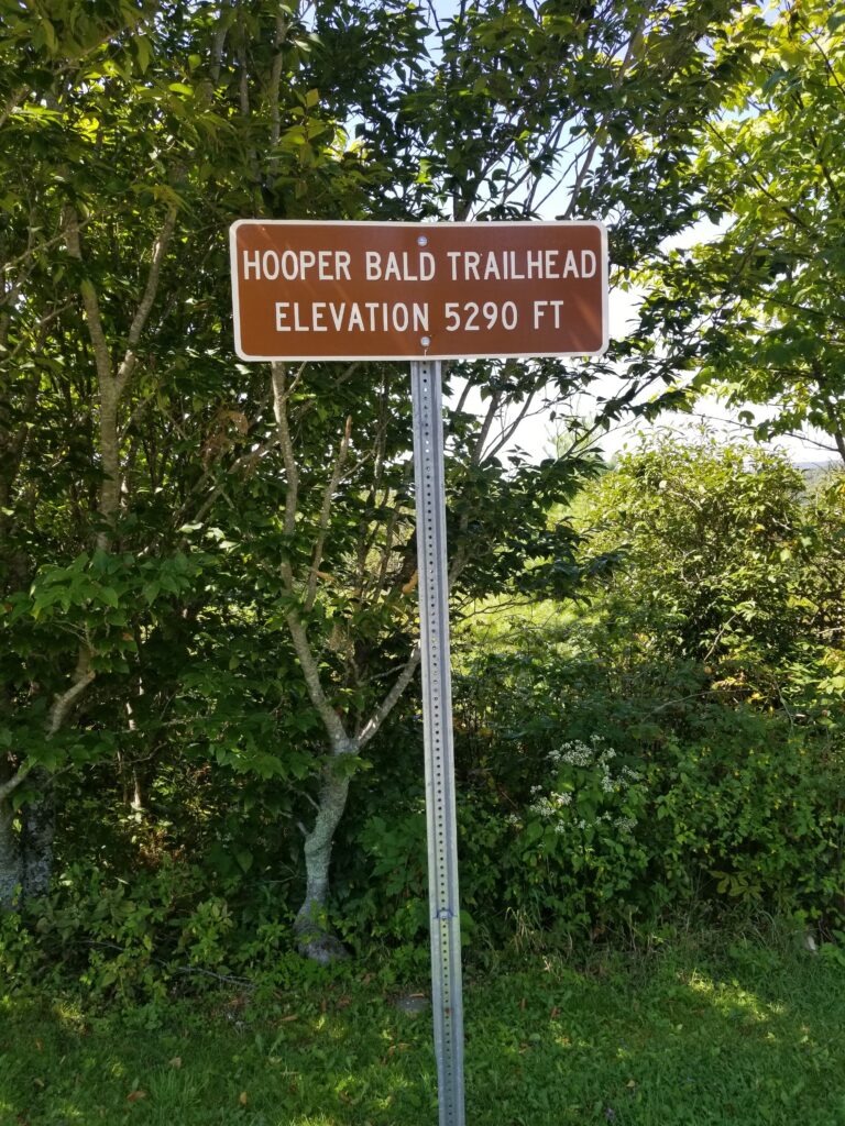
We finished on the Cherohala Skyway, stopping at the Santeetlah overlook at 5,390 feet and the Hooper Bald trailhead at 5,290 feet.
🥾 Trail facts
- Mount Mitchell: 6,684 ft; Summit Trail 0.25 mi one way; Balsam Nature Loop 0.7 mi (NC State Parks)
- Blue Ridge Parkway: 469 miles; NC-128 to Mount Mitchell leaves the Parkway at about milepost 355 (NPS)
- Tail of the Dragon: US-129 at Deals Gap, billed as 318 curves in 11 miles (VisitNC)
- Current status: As of October 2026 the Parkway is still closed from milepost 344.2 to 355.3 after Hurricane Helene, so reach Mount Mitchell from the Asheville side. The park itself reopened in September 2025.

Trail facts checked October 2026. Sources: NC State Parks: Mount Mitchell, NPS: Blue Ridge Parkway road status, VisitNC: Tail of the Dragon. Trails and roads change, so check with the park before you go.