Boardwalks and waterfalls at Graveyard Fields
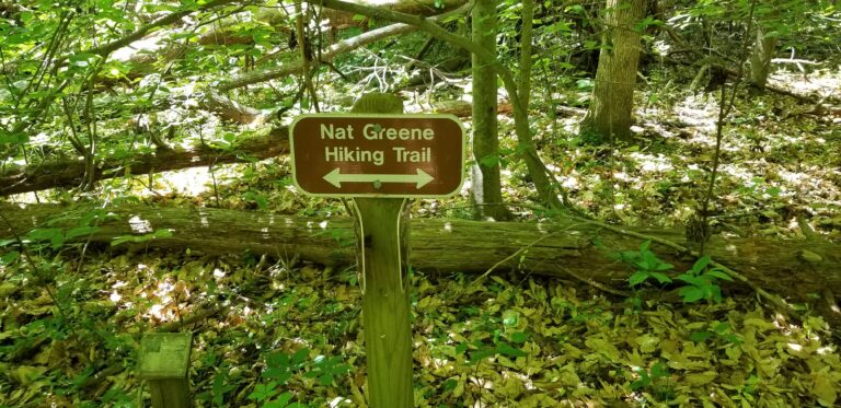
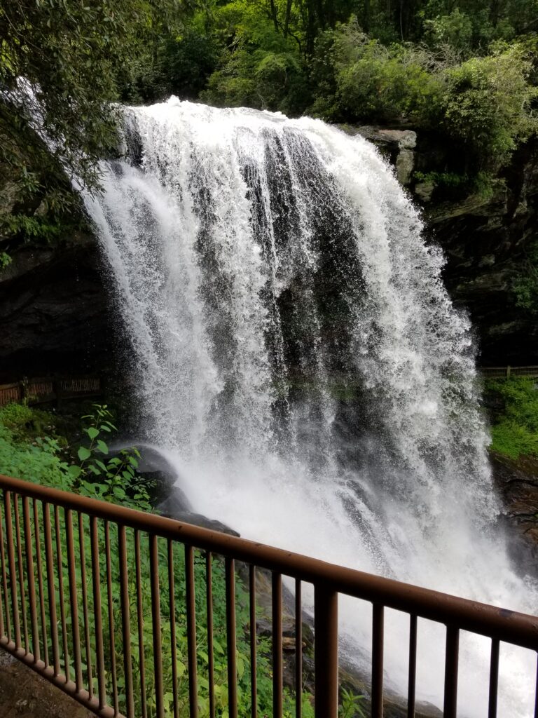
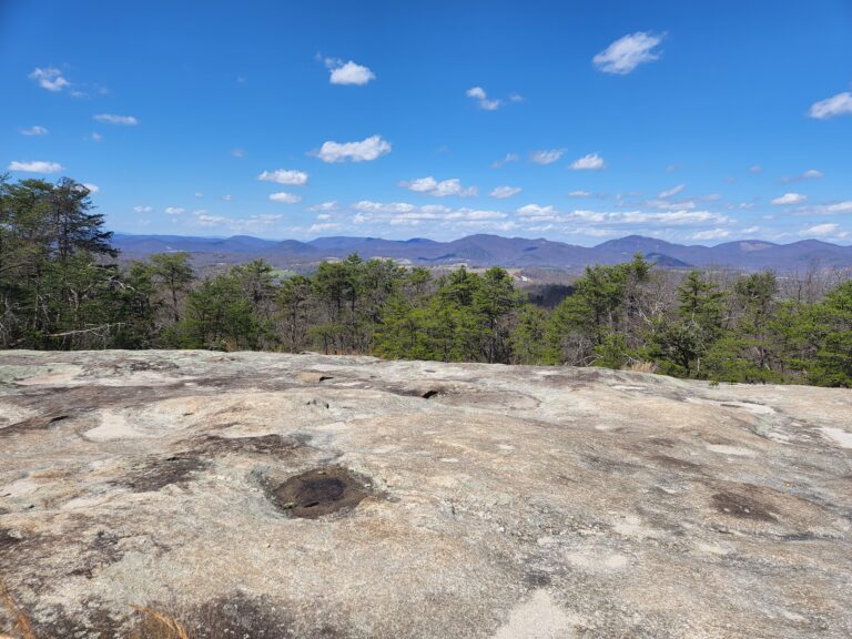
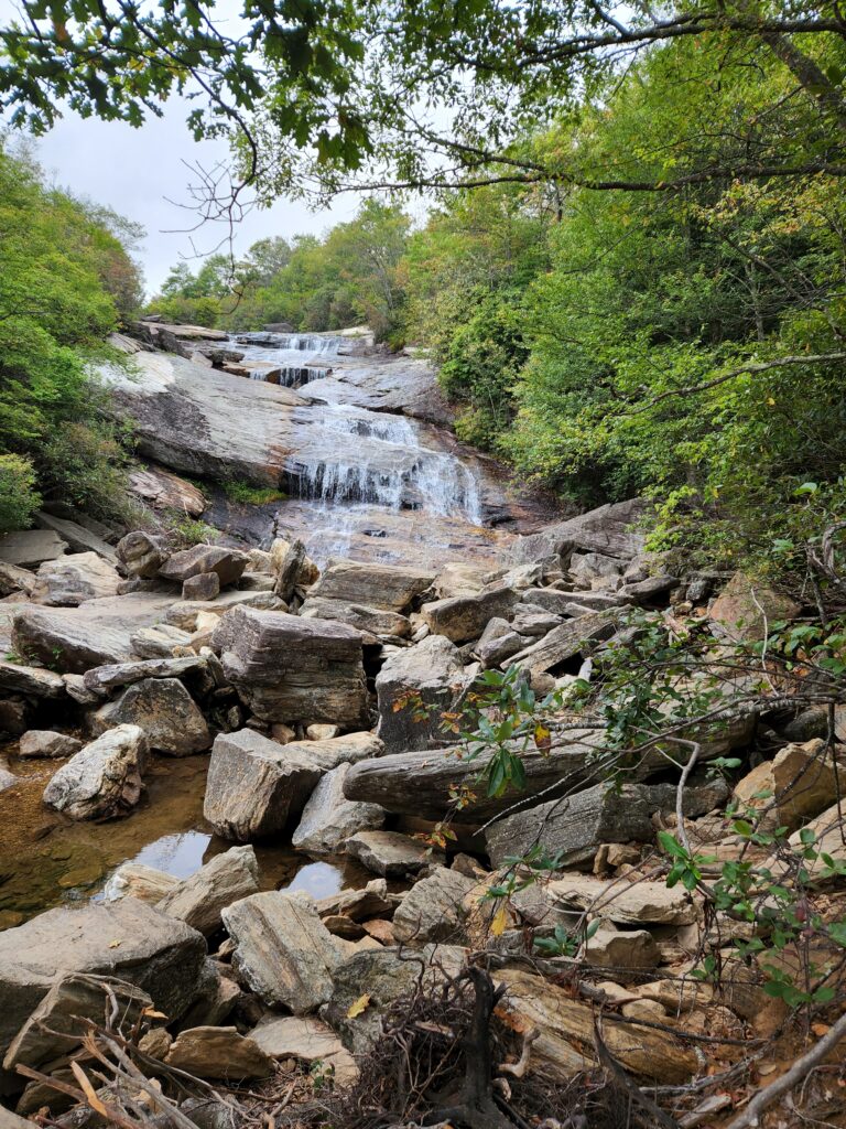
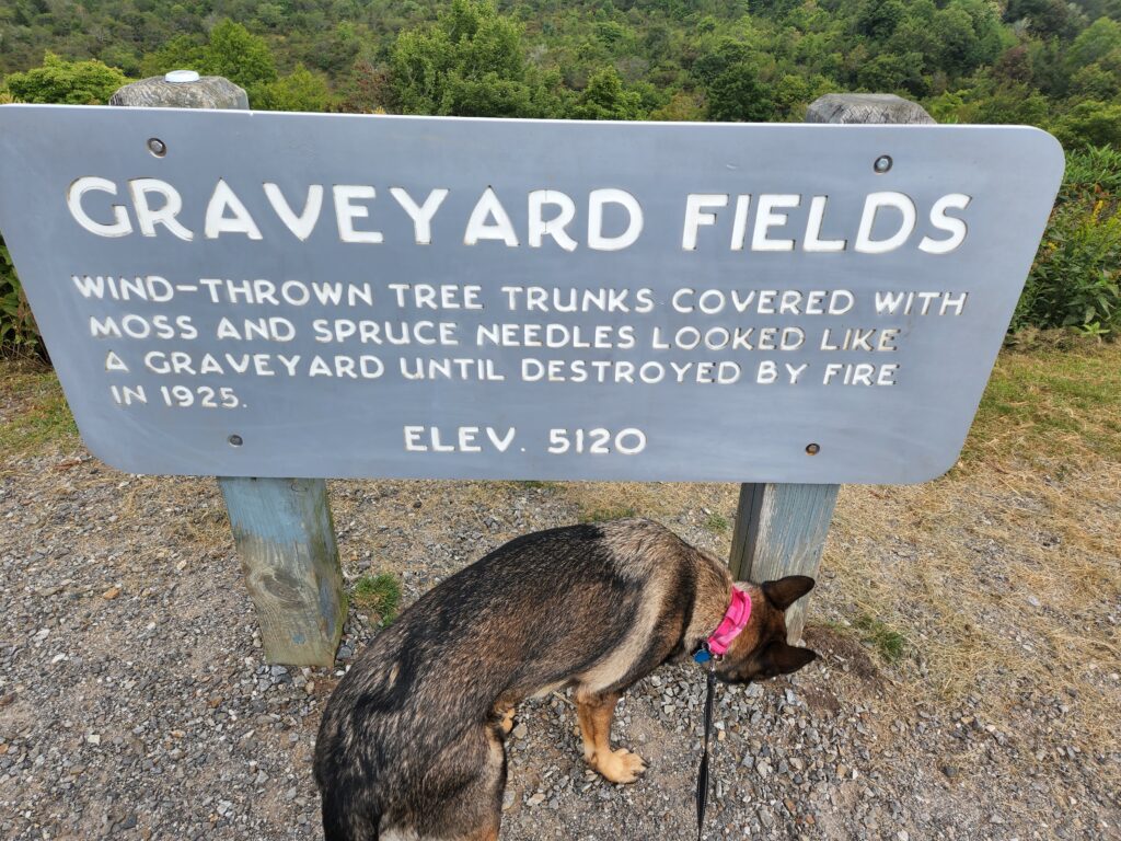
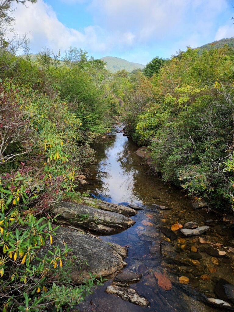
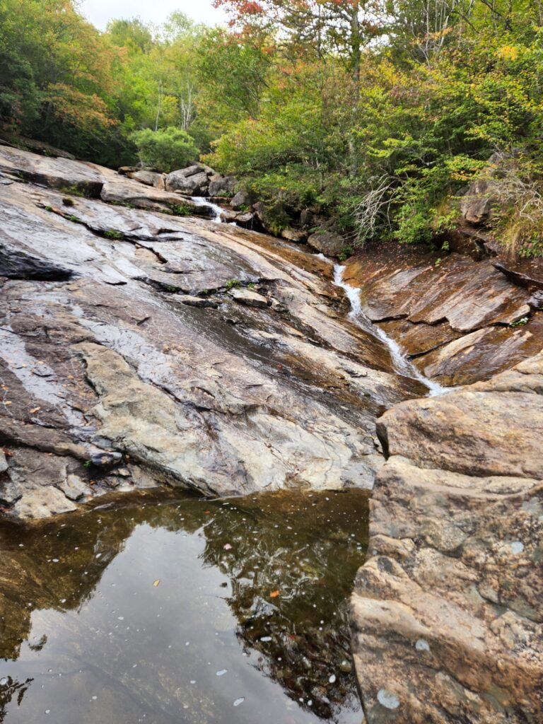
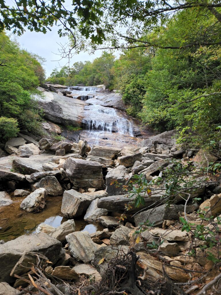
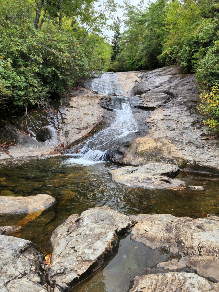
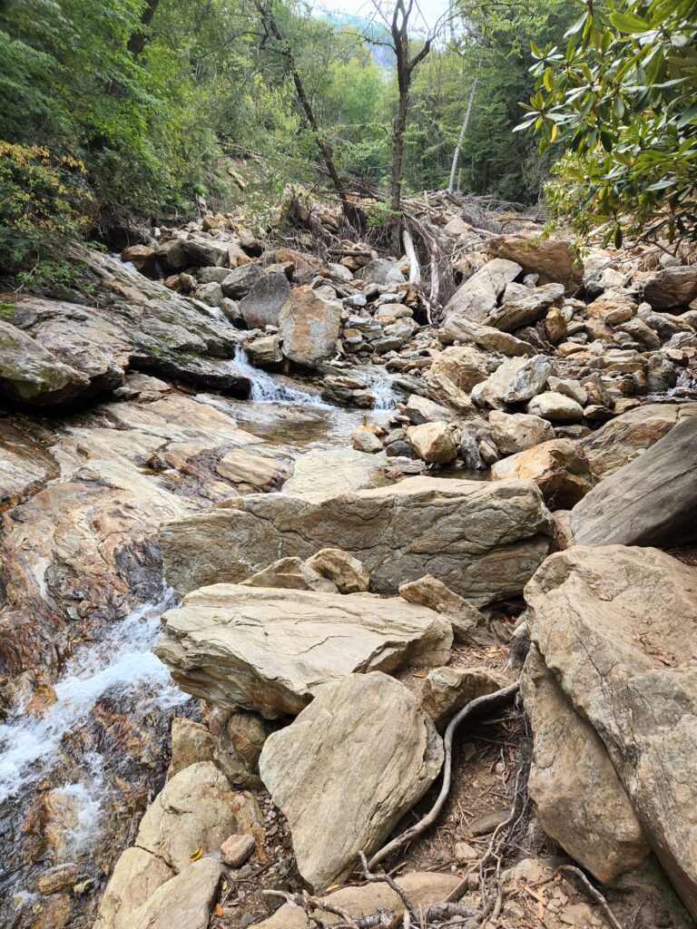
Graveyard Fields is a high mountain valley at about 5,120 feet on the Blue Ridge Parkway at milepost 418.8, in the Pisgah National Forest. The sign at the overlook explains the name: wind-thrown tree trunks covered in moss and spruce needles once looked like a graveyard, until fire swept through in 1925. A loop trail with boardwalks crosses the valley to the Upper Falls and the Lower (Second) Falls. The National Park Service lists the loop as an easy 1.2 miles with steep spurs to the falls, and the Forest Service lists a 2.5-mile route that takes in both falls.
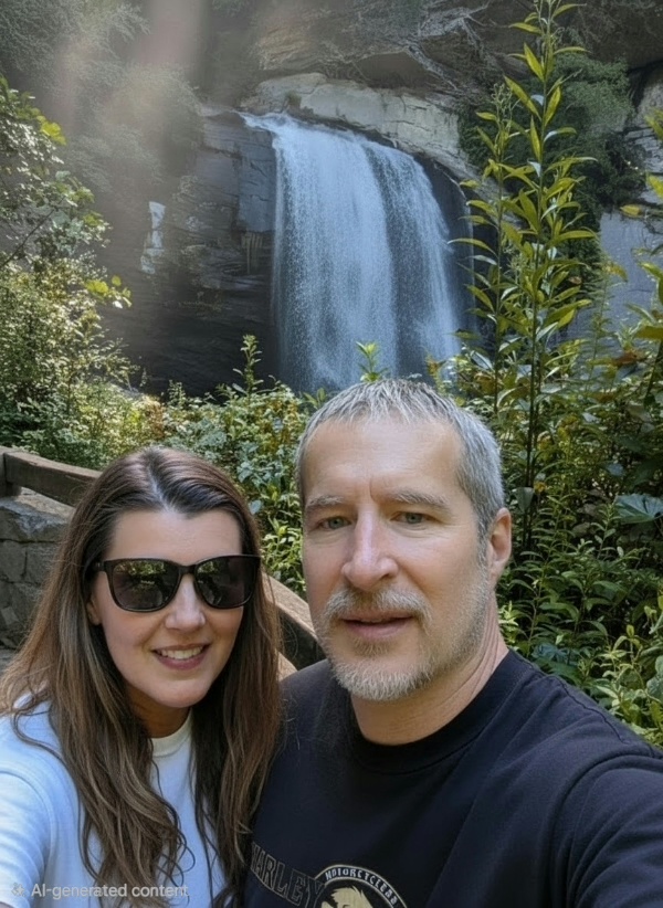
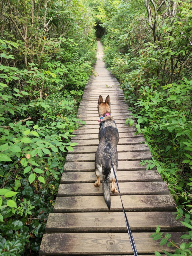
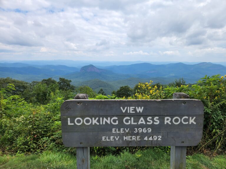
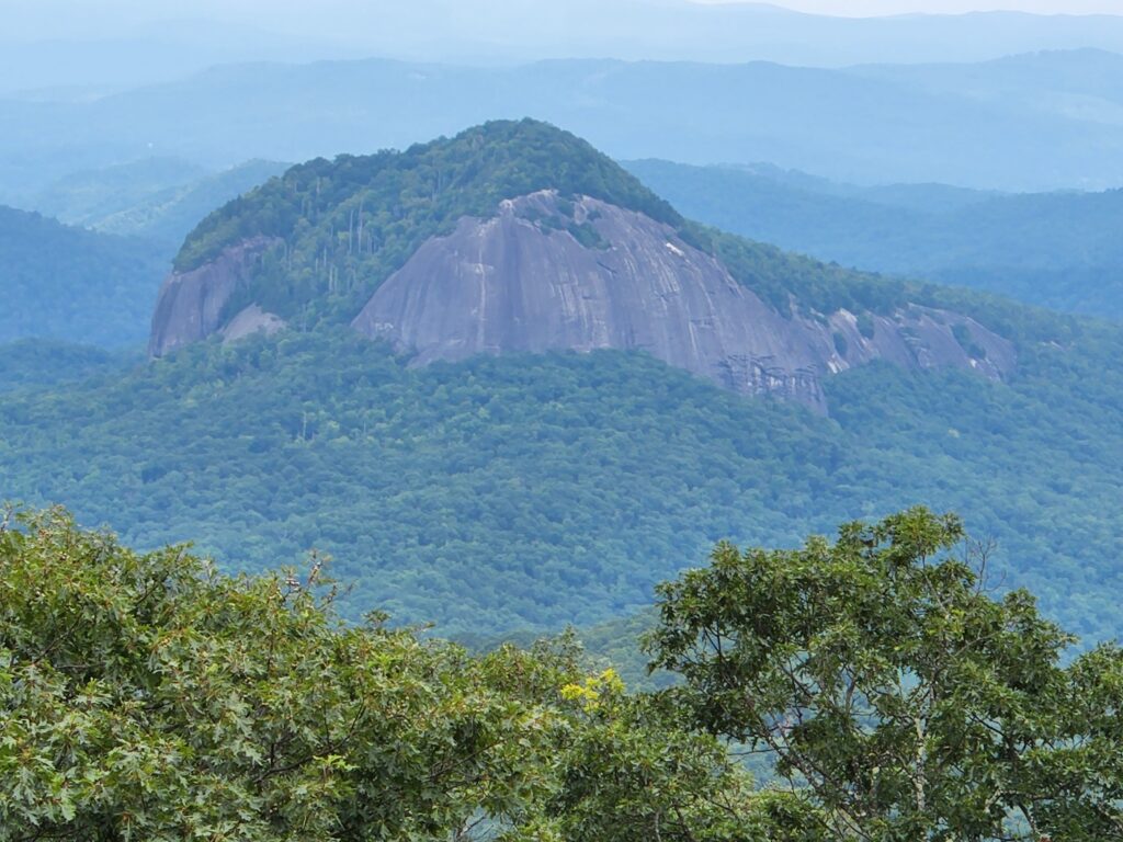
We went in early September 2022 with our pup, who led the way down the boardwalk. On the way back we stopped at the overlook for Looking Glass Rock, whose sign gives its summit as 3,969 feet against 4,492 feet at the overlook.
🥾 Trail facts
- Trail: Graveyard Fields Loop, 1.2 miles (NPS) or about 2.5 miles with both falls (USFS)
- Difficulty: Easy, steep spurs to the falls
- Parking: Fills early, so arrive in the morning
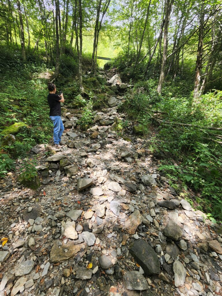
- Status: This part of the Parkway reopened in August 2025, and the loop was rebuilt after Hurricane Helene.
- Managed by: USFS, Pisgah National Forest (overlook on the NPS Blue Ridge Parkway)
Trail facts checked October 2026. Sources: NPS: Graveyard Fields, USFS: Graveyard Fields Loop Trail. Trails and roads change, so check with the park before you go.